
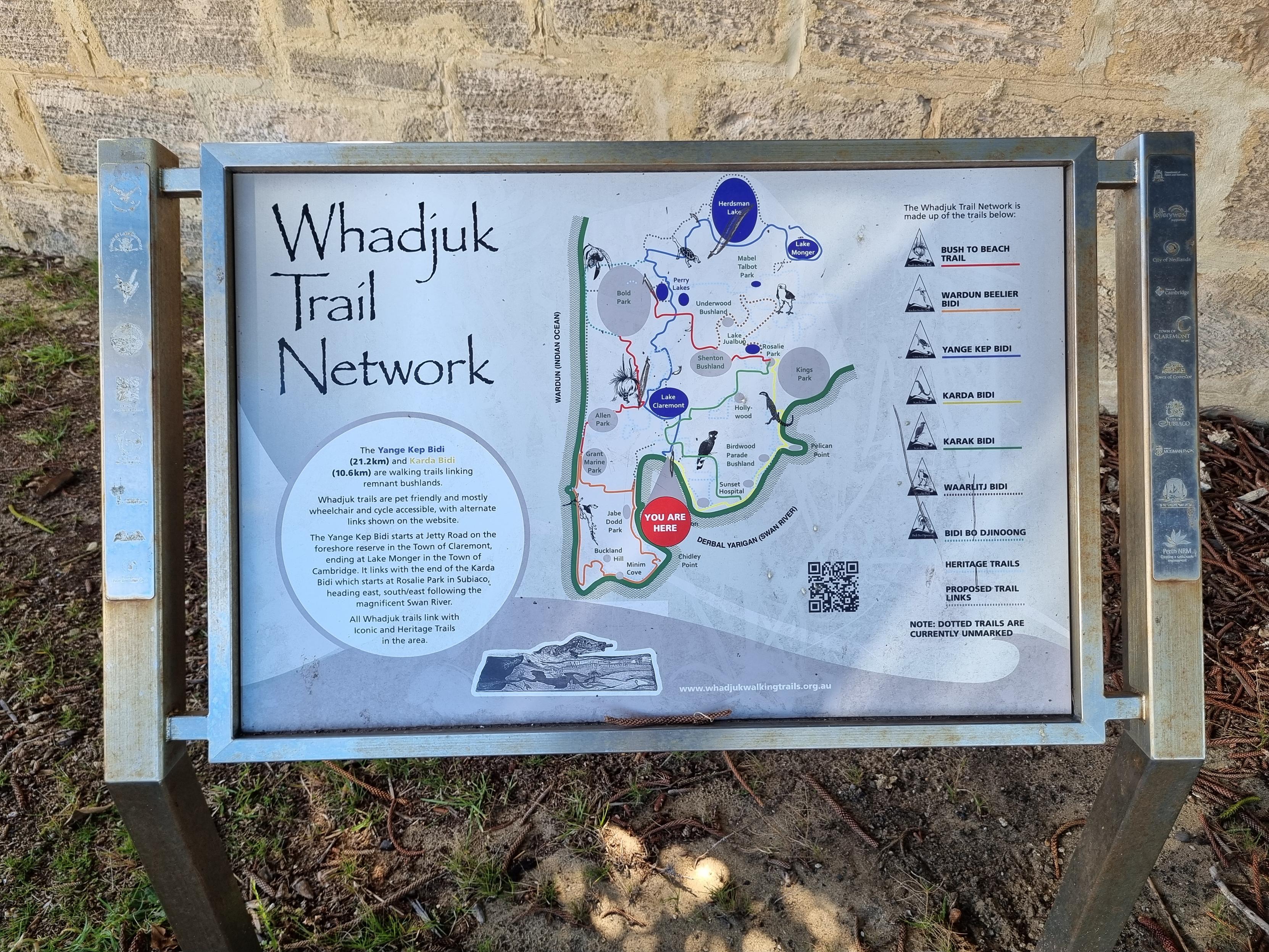
I think today is a good day to walk the Yange Kep Bidi, and start getting it into #OpenStreetMap.
I've made it onto a bus, which is weirdly empty for this time of day. The roads however are not, and we've been sat on one spot for about 8 minutes. Maybe something to do with the new bridge opening this weekend.
Right, finally rattling along at a better rate. Plotting a coffee location.
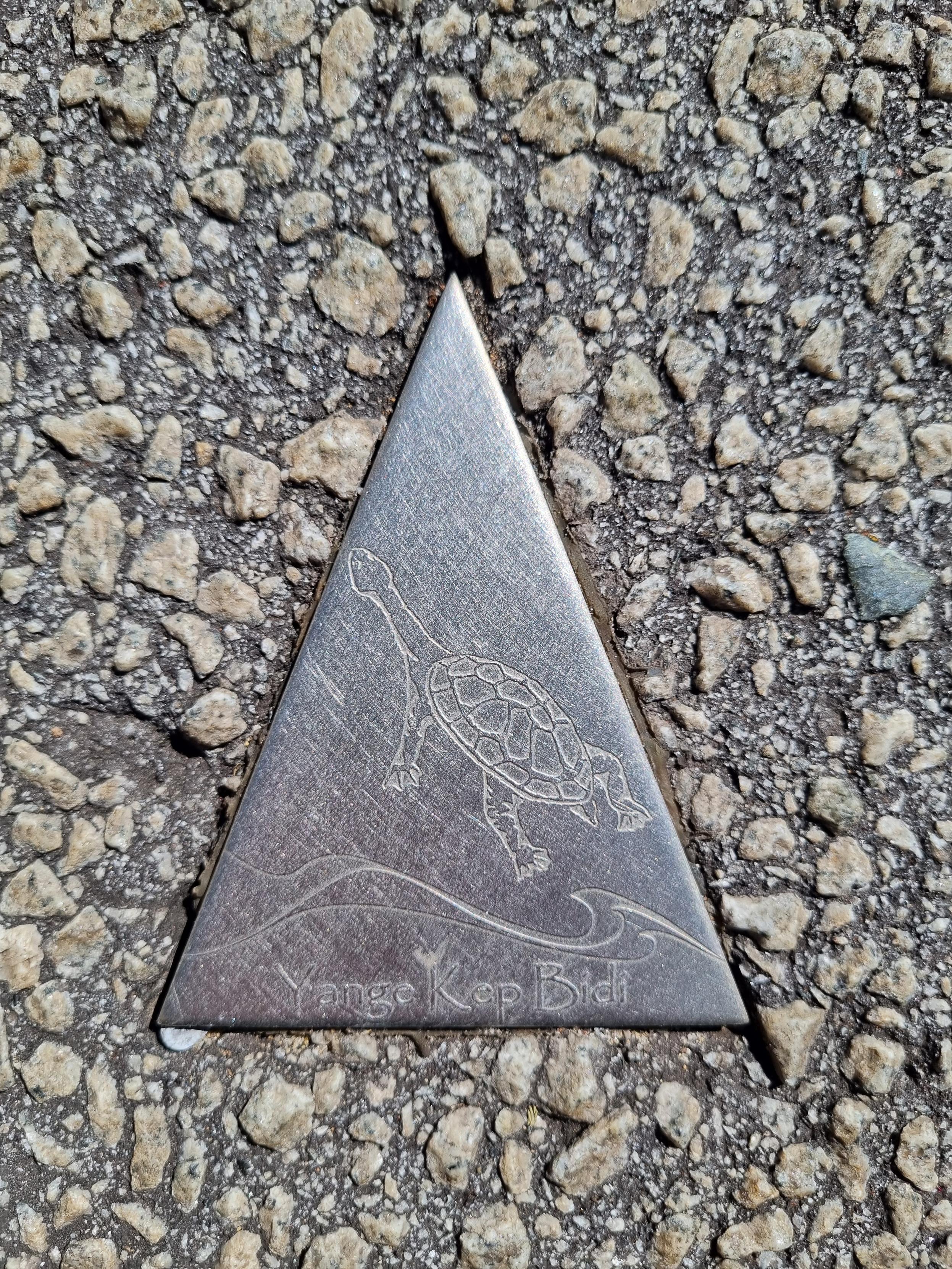
Am already finding little stainless triangles, but I'll ignore them till I get to the start of the trail, and record them on my way back up.
I thought for a moment that this cafe (Moose) had changed its name, but no, it all seems correct on the map. Nothing much to add. I thought it was called something French.
https://www.openstreetmap.org/node/9422050317
Most of the trail markers are in the footpath, this is the first time I've seen one in the road.
Last time I walked one of these I was going against the arrows, and hopefully going the right way up will be easier.
They sometimes put a marker in the middle of a long straight, but then no marker when there's a choice of where to go.
Probably I'm being marginally silly by trying to follow these by shiny-thing alone, but if that's not possible why do they go to such effort to put them everywhere?! And anyway, OSM is about mapping "what's on the ground", and the shiny things are mostly on the ground…
The trendies of Bayview Terrace are probably wondering why I'm taking photos of the bricks.
Navigating the railway line, and it feels like maybe the PTA have obliterated a few plaques in all the works they've done around here lately.
It doesn't help that two trails cross here, the Yange Kep and Karda, and all the plaques are identical unless you can see the engraving clearly.
Hmm, now I think they want me to turn into a car, and drive around a carpark until I find the way out. How very Perth.
Yeah nah, I'm pretty sure I'm not supposed to have been spat out onto this golf course, these golfers look like they're questioning my membership credentials.
Okay back on track. But dear official map, please note that this three-metre high fence is not a gate, nor does drawing a route through it make it so.
Thanks, Lake Claremont, for your half dozen markers mostly in unambiguous places, and your many more numerous forks and crossroads. (By which I mean, not thanks.)
I did get to see a clever border collie doing jumps and things though, which was fun.
I'd thought that maybe this cafe wasn't on the map, but no such luck. Of course, I'd forgotten how I actually learnt of its existence.
I've made it to the mysteriously-named Pine Tree Park, which has lots of pine trees in it and probably has a #Wikidata item already (not that I'm going to check because then I'll get sidetracked with clicking pictures). The trail markers have again petered out.
I'm not saying anything, but is there a reason that John XXIII's new paving doesn't have many markers left in it?
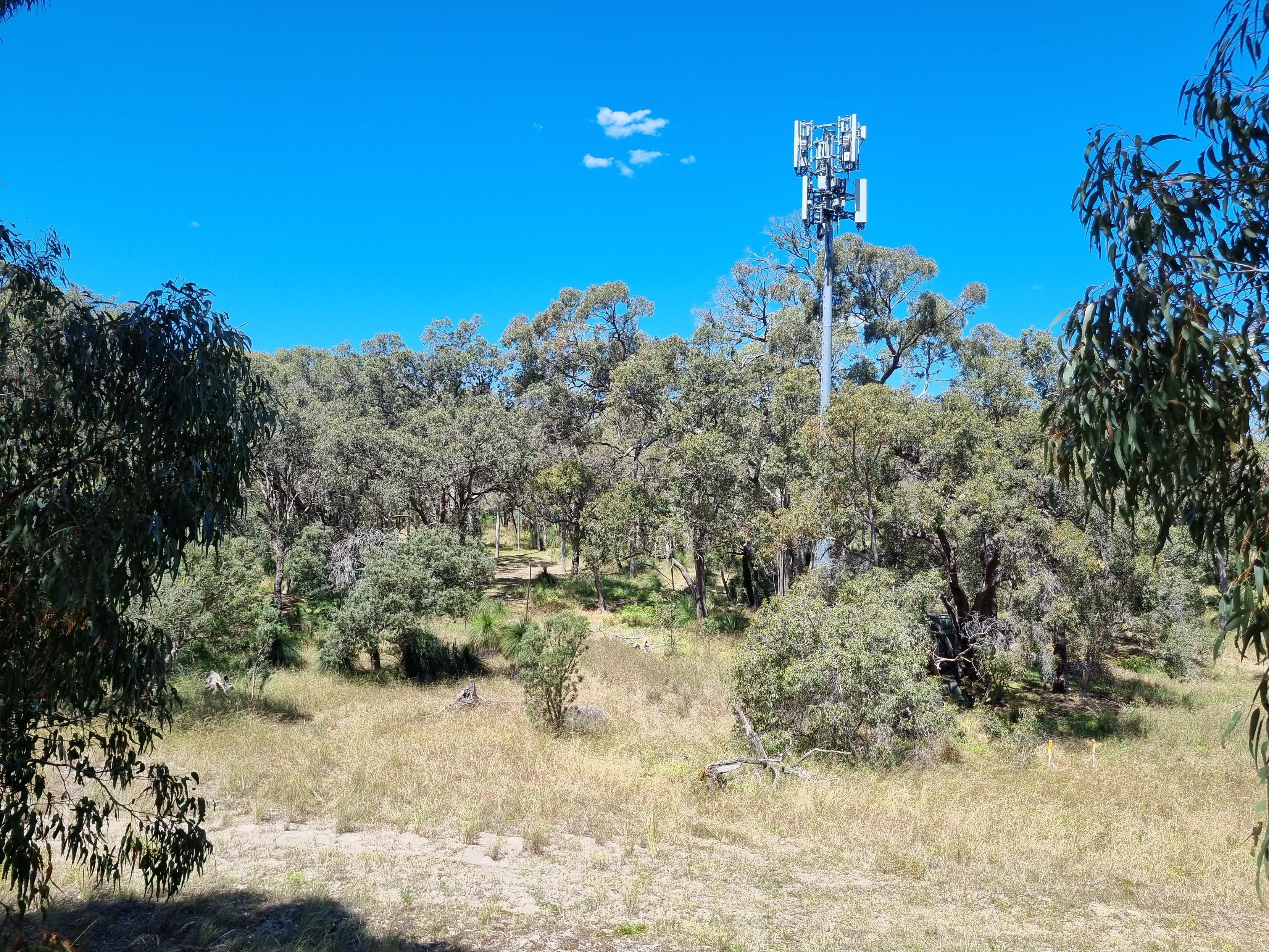
The official map goes off through this nice bit of bush, but the markers are taking me along this noisy road. :-(
A gentleman standing directing traffic for a very shouty athletics carnival tells me to head for the Herdsy for an afternoon beer.
Perry Lakes is worse than Lake Claremont for trail markers. As far as I can tell they have one pointing in at the start and after that you're on your own. The scouts should fix things! (They seem to live here, or at least had a big jamboree here in 1994.)
And it looks like my surveying might be done with, everything from here looks to already be on the map! I'll just add today's date and confirm that things are correct.
Plenty, along a series of loud roads. Hot and annoying. I guess the posh suburbs are running out.
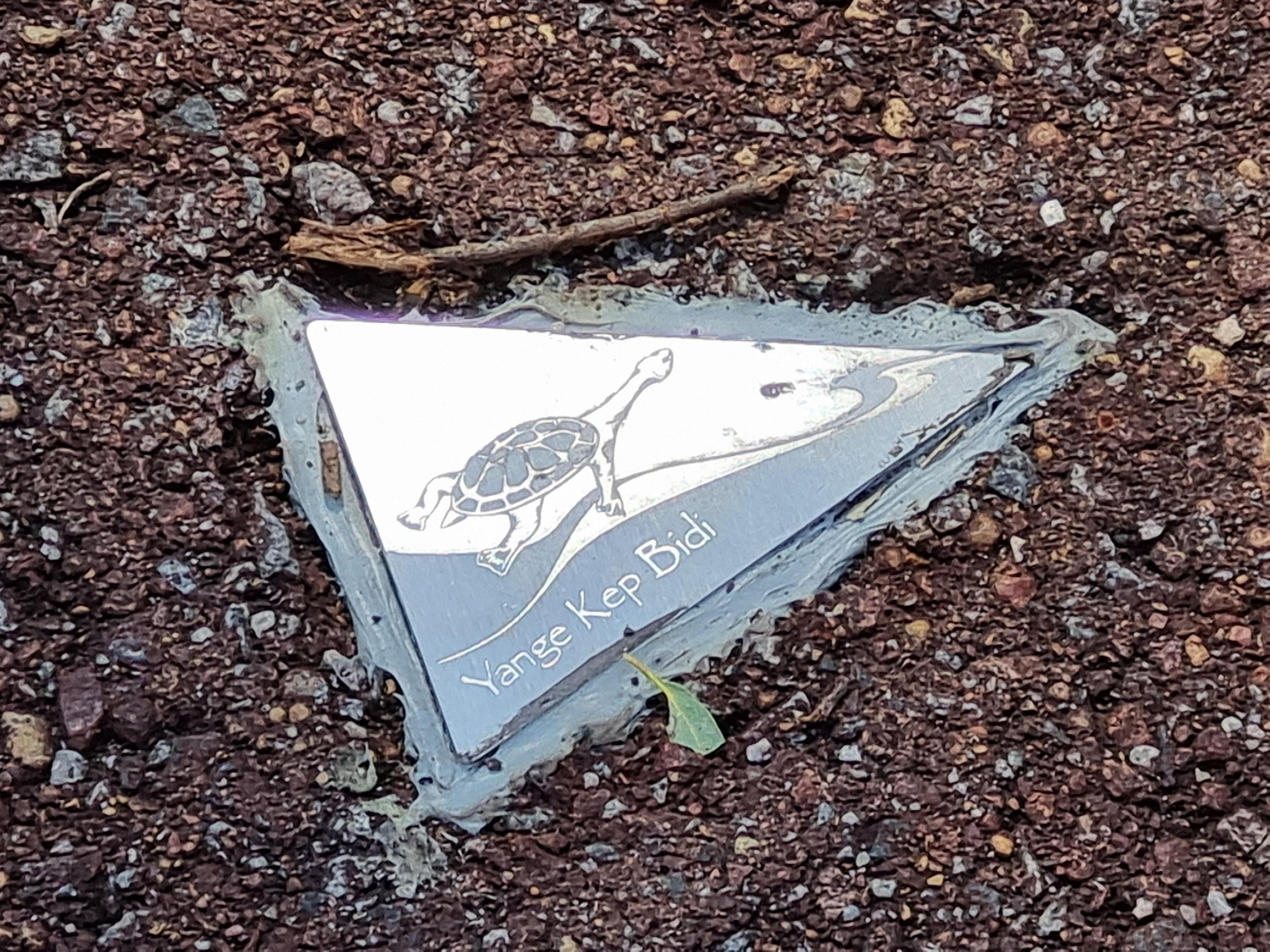
They didn't even bother to cut them in to the asphalt here, they just glued them on top.
There's a cool pile-of-books sculpture here, in memory of Edith Cowan.
And an entire huge park that hasn't been mapped at all.


@dean And I'll have to go back to finish it some time! But it's quite fun exploring places.